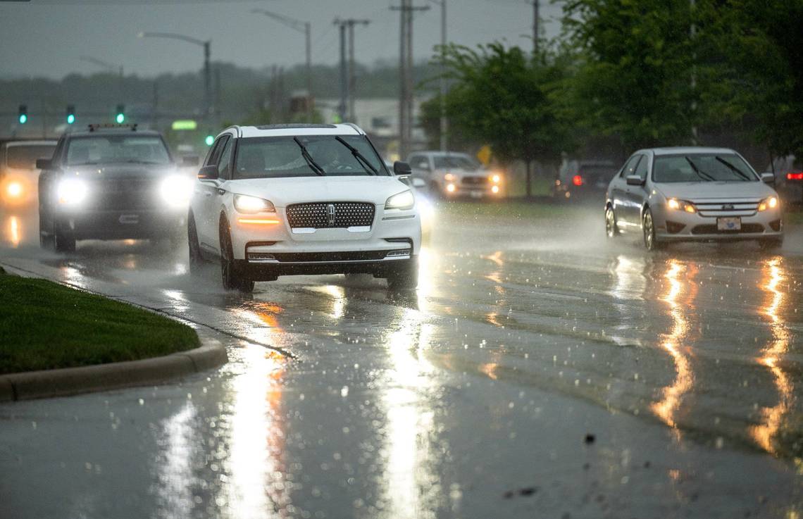
Powerful storms that produced frequent flashes of lightning and loud crashes of thunder moved through Kansas City overnight, drenching the metro with heavy rain.
So how much rain fell? It all depended on where you live in the metro, according to rainfall data from Stormwatch.com, which collects information from automated rain gauges across Kansas City.
Most of Kansas City saw at least an inch of rain, but higher rainfall totals were reported in the Northland, where up to 2.44 inches of rain fell in 24 hours, ending at 7 a.m. Friday.
Rain gauges at Northeast 96th Street and North Brighton Avenue, Northeast Barry Road and the East Fork of Shoal Creek, North Holmes Avenue near Fishing River and Metcalf Avenue at Turkey Creek recorded 2.44 inches of rain during those 24 hours.
Here’s a map of rainfall totals for the past 24 hours in Kansas City.
More severe weather, heavy rains expected
Additional rounds of storms are expected in the Kansas City area Friday through Sunday.
Widespread strong to severe storms and heavy rains are likely, according to the National Weather Service. Areas with repeated rainfall could see flash and river flooding, especially on Saturday.
The weather service expects an additional two to four inches of rain, and some areas could see higher amounts.
The multiple rounds of powerful storms threaten to bring severe weather to the Kansas City area Friday and are expected to continue through the weekend, the weather service said.
There is a “substantial tornado threat” Friday afternoon and evening in eastern Kansas into western Missouri.
People are advised to have a severe weather plan in place and to receive storm alerts and warnings in several ways.
