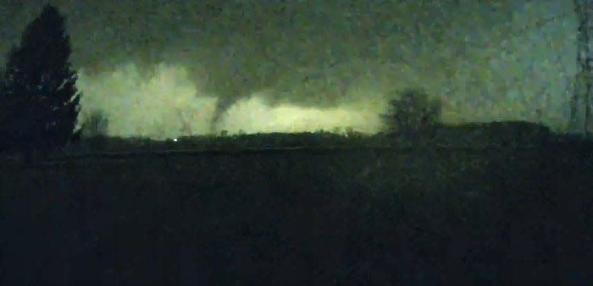
So what does TORCON mean? And how is it used? Here’s an explanation.
What is TORCON? How The Weather Channel’s tornado prediction scale started
TORCON, short for the Tornado Condition Index, was developed by Dr. Greg Forbes, a meteorologist and severe weather expert at The Weather Channel who retired in 2018, as an index that helped estimate the risk of tornadoes in a particular area. It is not an official weather term that the National Weather Service or National Oceanic and Atmospheric Administration use, according to Newsweek.
A severe weather outbreak continues from the Ohio Valley into the South on Tuesday, with the potential for EF2 or stronger, long-track tornadoes, large hail, damaging winds, and flash flooding.@TWCAlexWallace and @WxMolly have the latest updates: pic.twitter.com/1IuBMKllRp
— The Weather Channel (@weatherchannel) April 2, 2024
How is TORCON used to predict a tornado?
TORCON uses a 0-10 scale to indicate how likely a tornado is within 50 miles of a given location, according to Weather Station Advisor. A TORCON level of 2 would mean a 20% risk of a tornado, TORCON 5 would be 50%, and so on.
In this video from The Weather Channel, Forbes explains the TORCON system and how it’s used.

The National Weather Service system uses tornado watch and tornado warning. What’s the difference?
There are six categories used by the National Weather Service to classify the rotational speed of tornadoes (EF0-EF5) but just two levels to warn of tornado activity.
A tornado watch means weather conditions could spawn tornadoes within the watch area. People should stay aware of weather conditions and be prepared to act if watchers spot a tornado.
A tornado warning means a tornado has been sighted by a local NWS forecast office or indicated by weather radar and there is imminent danger to life and property.
This article originally appeared on Record-Courier: What is TORCON? Weather Channel index forecasts likelihood of tornado
