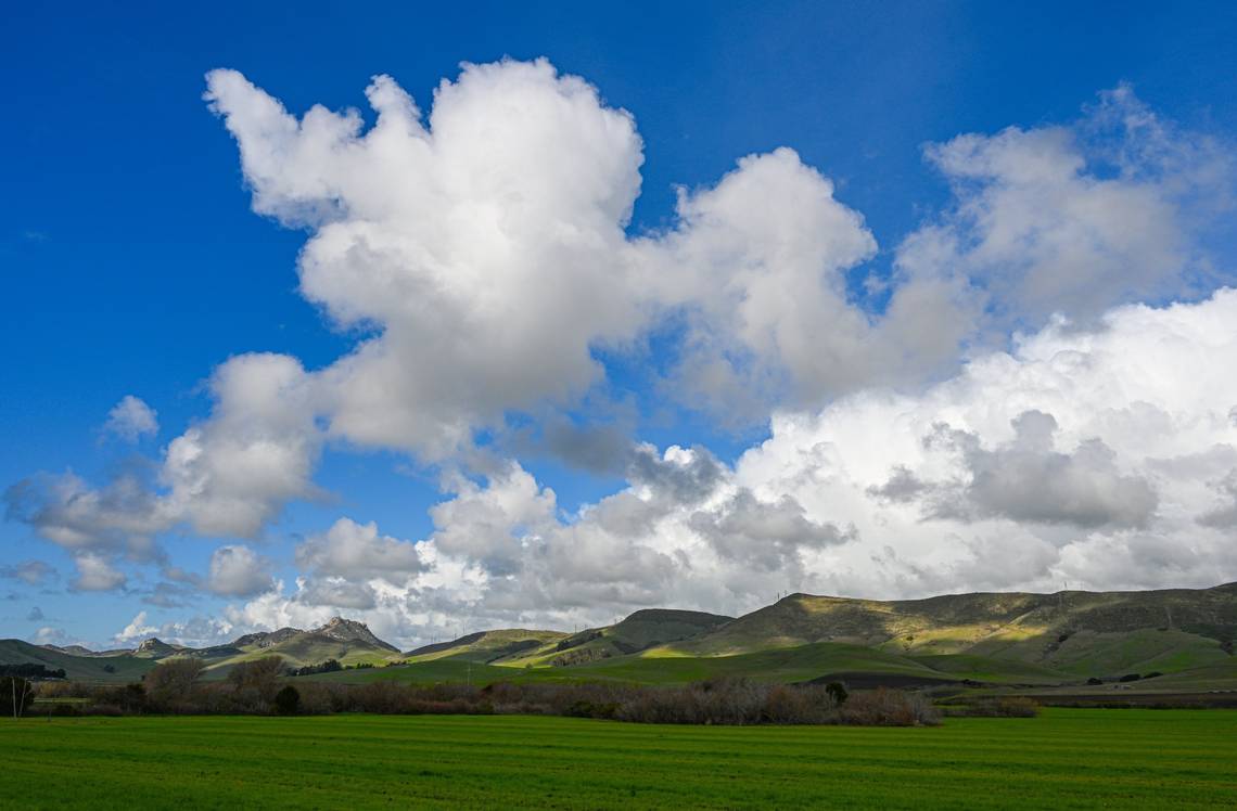
Notably, the Sierra Nevada snowpack has now reached 110% of the average as of April 1. This is a significant milestone as, historically, April 1 marks the peak depth of the snowpack for the year, providing a clear indication of expected water runoff and its impact on the region.
Along the Central Coast, the rainfall totals have exceeded the average for the rainfall season (July 1 through June 30).
To put this into perspective, Rocky Butte near Hearst Castle has recorded 68 inches of rain; this is 170 percent above the average seasonal rainfall at the butte, which typically gets 40 inches in a year.
Similarly, the Paso Robles Municipal Airport has seen nearly 17 inches, compared to the usual 13 inches in a typical year.
Cal Poly, the home of climatology for San Luis Obispo, has recorded 23 inches this rain season, which is 115 percent of the average for this date in the month.
The Santa Maria Public Airport has recorded over 15 inches, or 2 inches above the seasonal average of 13 inches. Santa Barbara Municipal Airport reports nearly 25 inches of rain, 9 inches above the typical 16 inches for the entire rain season!
According to Climate Central at www.climatecentral.org, this March, Santa Maria was much cooler than normal and wetter than normal.
The average temperature of 53.9 degrees was 1.4 degrees below normal, and the 3.59 inches of precipitation was 140% of the normal amount (data are from SC-ACIS, and normal is defined relative to the 1991-2020 NCEI climate normal).
Santa Maria stood out as the sixth-coolest location relative to normal out of the 192 locations with consistent data that we monitor. However, Marches in Santa Maria are getting hotter, leading to a change of 2.9 degrees since 1970. The forecast for April from NOAA’s Climate Prediction Center suggests that California is slightly favored to be warmer than normal.
As a result of the consecutive back-to-back above-average rainfall seasons, most of our lakes and reservoirs are now at or over 100% of their capacity.
This is a significant development, indicating the positive impact of the recent weather patterns on our water resources. For instance, Lake San Antonio is currently at 80% of its capacity, while Lake Nacimiento reported a healthy 94% as of Friday.
SLO County forecast for the week
Looking ahead this week, a ridge of high pressure will build over California, producing a pattern of gentle to moderate (8 to 18 mph) Santa Lucia (northeasterly) winds during the morning, shifting out of the northwest and increasing to fresh to strong (19 to 31 mph) levels during the afternoon on Saturday through Tuesday.
This condition will produce mostly clear skies, except for areas of marine low clouds along the coastline during the late afternoon and evening and warmer temperatures.
In fact, the coastal valleys (San Luis Obispo) will reach the mid-70s by Tuesday and high 70s on Wednesday through next Saturday, while the inland valleys (Paso Robles) will reach the low 80s.
Persistent moderate to fresh (13 to 24 mph) northwesterly winds on Wednesday into next Saturday will allow the marine layer to develop in the coastal regions during most of the day, while the inland areas will remain mostly clear.
Strong to gale-force (25 to 38 mph) northwesterly winds, classic Central Coast spring winds, are forecast for most of next week. This condition mixes out the temperature inversion layer, leaving behind mostly clear skies during the late morning and afternoon along the coastline.
Surf report
A 5- to 7-foot northwesterly (300-degree deep-water) sea and swell (with a 5- to 15-second period) is forecast on Saturday through Tuesday, becoming a 4- to 6-foot northwesterly (290-degree deep-water) swell (with an 8- to 16-second period) on Wednesday into next Saturday.
Seawater temperatures will range between 53 and 55 degrees through next Saturday, decreasing the following week.
This week’s temperatures
LOWS AND HIGHS, PASO ROBLES
|
SUN |
MON |
TUE |
WED |
THU |
FRI |
SAT |
SUN |
|
38, 63 |
38, 68 |
41, 75 |
46, 80 |
50, 82 |
51, 81 |
52, 81 |
52, 82 |
LOWS AND HIGHS, SAN LUIS OBISPO AND COASTAL VALLEYS
|
SUN |
MON |
TUE |
WED |
THU |
FRI |
SAT |
SUN |
|
44, 63 |
43, 67 |
47, 76 |
51, 79 |
53, 78 |
54,77 |
53, 78 |
53, 76 |
John Lindsey is a retired PG&E marine meteorologist. Email him at JohnLindseyLosOsos@gmail.com or follow him on Twitter @PGE_John.
