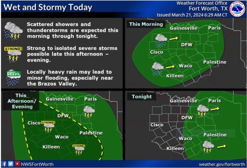
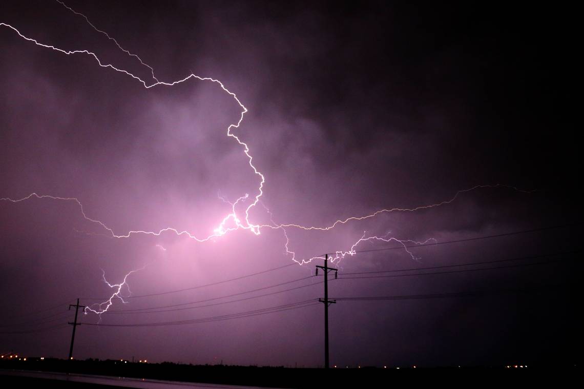
This system of storms are expected to bring hail and strong winds across much of North Texas, although the coming storms will not be as severe as the system that only days ago pummeled the Metroplex with baseball-size hail and at least one tornado.

⚡ More trending stories:
→ There’s no ‘better place’ to see April 8 total solar eclipse than in this tiny Texas town.
→ How a six-pack of beer, $100 got rescuers to pull pig out of thorns.
→When do tornadoes occur the most in Dallas-Fort Worth?
When will the worst of the storms hit Dallas-Fort Worth?
The storms will mostly hit areas along and south of I-20, intensifying late Thursday afternoon and into the evening, according to the National Weather Service Fort Worth office forecast.
“Increasing clouds with showers and a few thunderstorms increasing late [Thursday] night, along with a strong storm or two with small hail and gusty winds over eastern Central Texas,” writes Fort Worth meteorologist Eric Martello on the NWS website. “Scattered showers and thunderstorms will persist primarily along/east of I-35 through Thursday evening and into Thursday night. Precipitation will exit into East Texas by early Friday morning.”
How much rain is expected from the storms hitting North Texas?
Heavy rainfall will accompany the storms with up to 1.5 inches expected east of the I-35, and the NWS warns of some flooding. To the west of I-35, up to an inch of rain is expected.
Threat of flooding is mostly for counties south of the Metroplex. But the rain will be heavy as the storms intensify.
Rain will exit to the east Friday morning lending way to dry and seasonable weather both Friday and Saturday.
The next round of thunderstorms will move across North and Central Texas late Sunday into Monday. Continue to check back for forecast updates through the weekend! #txwx pic.twitter.com/6BsNywaCA7
— NWS Fort Worth (@NWSFortWorth) March 21, 2024
When are the storms exiting the region?
The brunt of the storms will hit Dallas-Fort Worth Thursday night, and by early Friday morning, the system of storms will be blowing into East Texas.
When will Dallas-Fort Worth see the next storm systems?
By Sunday, we will see another set of storms arrive pushed along by high atmospheric instability from the deserts in the Southwest and emptying out to our region.
“With strong deep-layer shear present, severe weather potential will largely depend upon the degree of moisture return and destabilization that occurs out in the warm sector,” according to the NWS.
