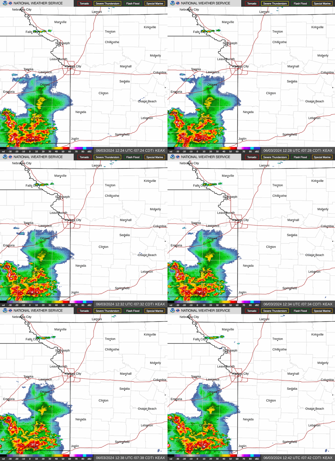
Kansas City and surrounding areas are now at an enhanced risk of severe thunderstorms, the third category of its five severe thunderstorm risk categories, according to the Storm Prediction Center.
Under the enhanced risk of severe thunderstorms, scattered severed storms are possible. They are expected to be short-lived or not widespread, although isolated intense storms are possible. Earlier Monday, the metro was only under a slight risk of severe weather, which meant that only isolated severe thunderstorms were likely.
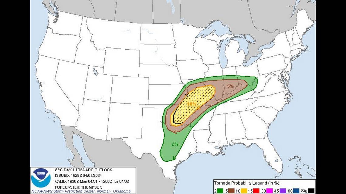
Large hail and strong winds are the top concerns in Kansas City from the storms. There also is a possibility of tornadoes, although areas to the southeast of Kansas City are at a greater risk.
The storms are expected to develop in the afternoon in Kansas and Missouri and spread east into Illinois and Indiana in the evening.
Weather conditions will favor the formation of supercells — large thunderstorms with deep and persistent rotating updrafts that look like tall storm clouds with anvils or elongated clouds at the top. These supercells will be capable of producing hail two inches in diameter or larger, along with a few tornadoes.
Up to two inches of rain and some flooding are likely in the Kansas City region, especially where thunderstorms pass repeatedly over an area. According to the weather service, the greatest threat for flooding is areas east of U.S. 65 highway in central Missouri.

Cooler and breezy conditions will occur after the storms exit the Kansas City area. Temperatures will be in the low to mid-50s for most of the week, five to 10 degrees below normal. They will then drop to near freezing each night through Friday.
Temperatures will begin warming for the weekend on Friday, reaching the upper 60s. For Saturday and Sunday, expect low- to mid-70-degree weather.
A live data feed from the National Weather Service containing official weather warnings, watches, and advisory statements. Tap warning areas for more details. Sources: NOAA, National Weather Service, NOAA GeoPlatform and Esri.
Open
