A messy storm is bringing inches of rain into Massachusetts and a significant amount of snow to northern New England.
We begin with light snow and icy conditions across much of western and central Mass. along with southern New Hampshire. This will continue in central and northern Massachusetts throughout the late morning, said Boston 25 Meteorologist Jason Brewer shared in his latest weather blog.

“There is some icing mainly in central and northwestern Massachusetts, but by far the heaviest impacts will be from the heavy rain,” said Brewer.
Rain will pick up in the afternoon hours and through the night on Saturday.
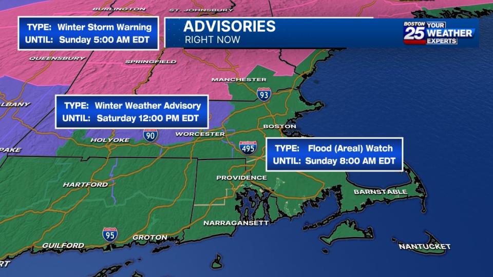
A flood watch has been issued for Central Middlesex, Western Essex, Eastern Essex, Western Hampden, Eastern Hampden, Southern Worcester, Western Norfolk, Southeast Middlesex, Suffolk, Eastern Norfolk, Northern Bristol, Western Plymouth, Eastern Plymouth, Southern Bristol, Southern Plymouth, Barnstable, Dukes, and Nantucket county until 8 a.m. on Sunday.
A winter weather advisory has also been issued for Western Franklin, Eastern Franklin, Northern Worcester, Western Hampshire, Western Hampden, Eastern Hampshire, Eastern Hampden, and Northwest Middlesex County until 12 p.m. on Saturday.


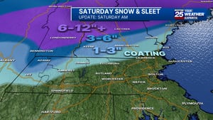
Northern New England gets all snow and the green and white mountains are expected to get 12 to 18 inches of fresh powder.
The storm is expected to pull out of Massachusetts by Sunday morning and it will be windy all day.
For the latest forecast updates, visit the Boston 25 Weather page and download the Boston 25 Weather app.
This is a developing story. Check back for updates as more information becomes available.
Download the FREE Boston 25 News app for breaking news alerts.
Follow Boston 25 News on Facebook and Twitter. | Watch Boston 25 News NOW
