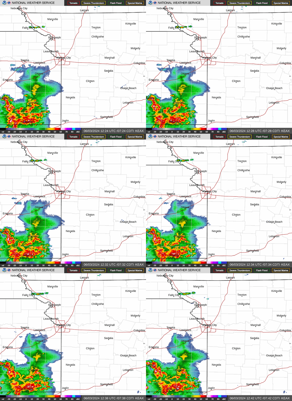
Folks headed out on their morning commute and errands will want to grab their rain gear as a rainy day is on tap for the Kansas City area Thursday, according to the National Weather Service.
A large thunderstorm complex passed over northwest Missouri early Thursday morning, bringing strong to severe thunderstorms to areas between Interstate 70 in the Kansas City area and U.S. 36 highway in the St. Joseph area, according to the weather service.
The storms gradually weakened, and the threat of severe weather decreased as people headed out the doors for their morning trips.
Scattered to more widespread showers and thunderstorms are likely after sunrise Thursday, lasting until a cold front pushes through in the early afternoon, according to the weather service’s forecast discussion. Most storms are not expected to become severe, although some small hail and damaging winds are possible.
Cooler weather is also expected. The Kansas City area was expected to peak at 62 degrees around 9 a.m. and fall into the low to mid-50s by the afternoon.

Storms to redevelop
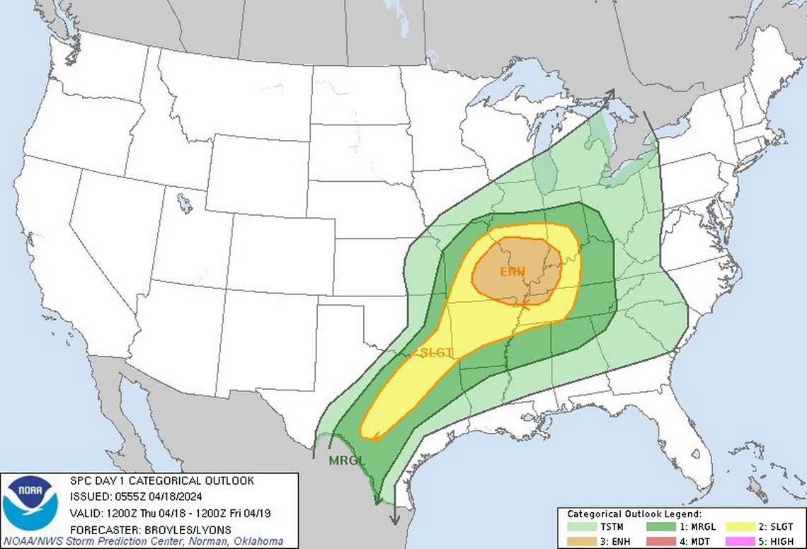
The morning storms are expected to reintensify over central Missouri by early afternoon Thursday, bringing the possibility of strong to severe storms over the Ozarks. Large hail and damaging wind are the main threats.
The strongest storms are expected to be east and south of Kansas City. According to the weather service’s Storm Prediction Center, the Kansas City area is at a marginal risk of severe weather..
After the storms move out, dry and cool weather is expected for the weekend.
Friday and Saturday will have temperatures in the upper 50s under partly sunny skies. Sunday will be just a few degrees warmer.
Some areas in northern Missouri could see frost early Sunday as temperatures tumble into the 30s.
